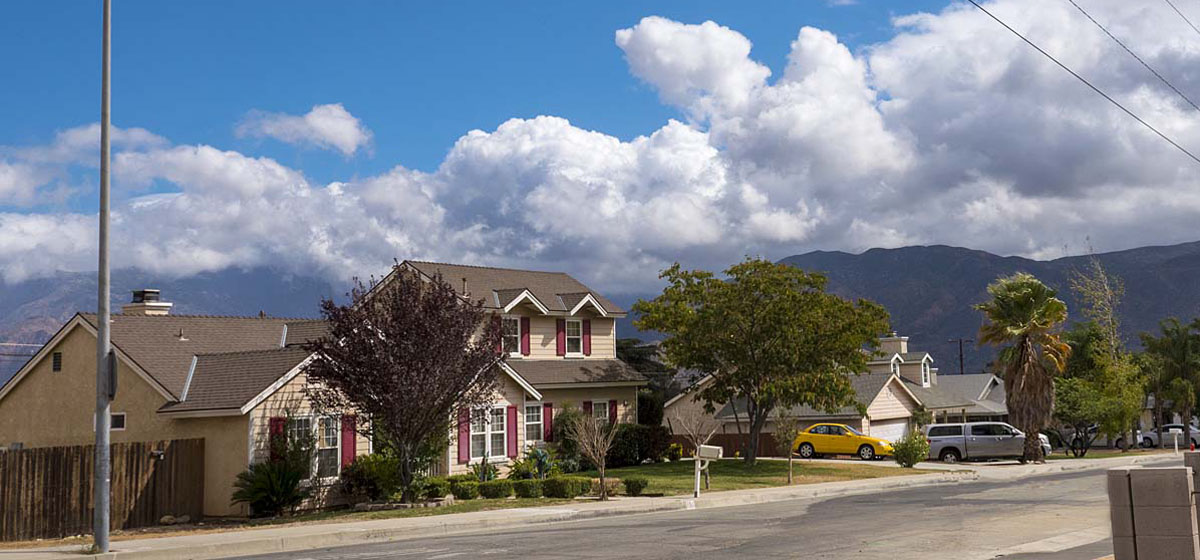
Banning Neighborhoods
-
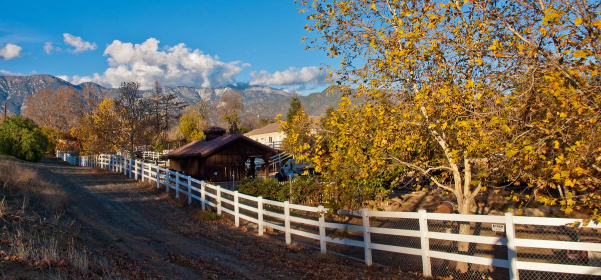
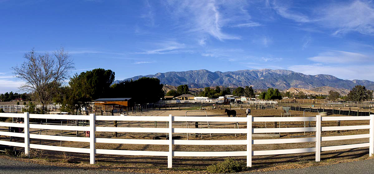
Banning Bench
-
South Banning
-
Central Banning
-
West Banning
-
East Banning
Banning Neighborhoods
Most of the neighborhoods have stayed the same over the last 40 years. The first thing I have noticed driving around the old neighborhoods we use to explore were the chain linked fences. No more hiking to devils slide, or the canyon behing McCoy's ranch. The "hidden waterfall on the backside of the bench is fenced off. It was nice to see some of the old landmarks like the wishing well on N. San Gorgonio ave.
The area designations used are for navigating this website and do not represent actual city zones or areas.
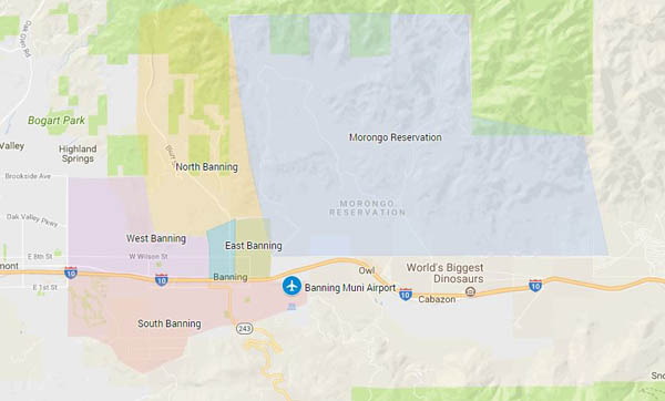
- Central Banning
- Ramsey St north to Banning Wash - West of Alesandro to 8th Street.
- East Banning
- East of San Gorgonio to Reservation , North of Interstae 10
- South Banning
- Airport west to Highland Springs , South of Interstae 10
- West Banning
- West of 8th street to Highland Springs, North of Interstate 10, South of the Bench
- North Banning
- Banning Cemetary, Banning Wash, Mias Canyon and Banning Bench